Fishing allowances in the Hauraki Gulf and impacts on protection areas

Longline fishing boat

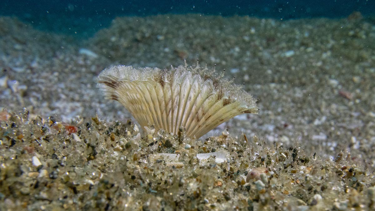
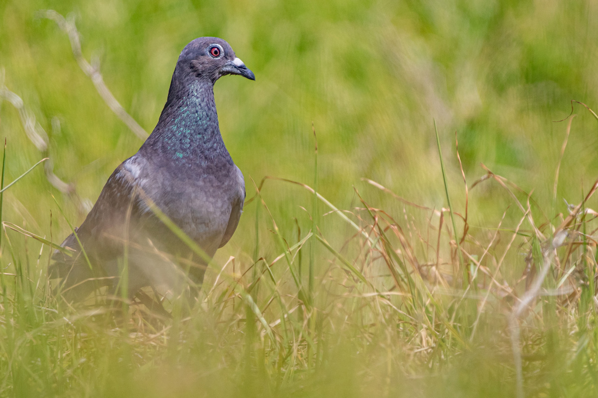
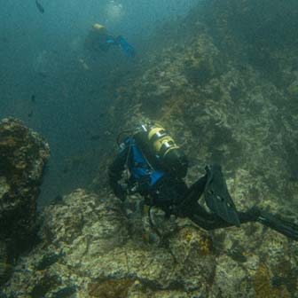
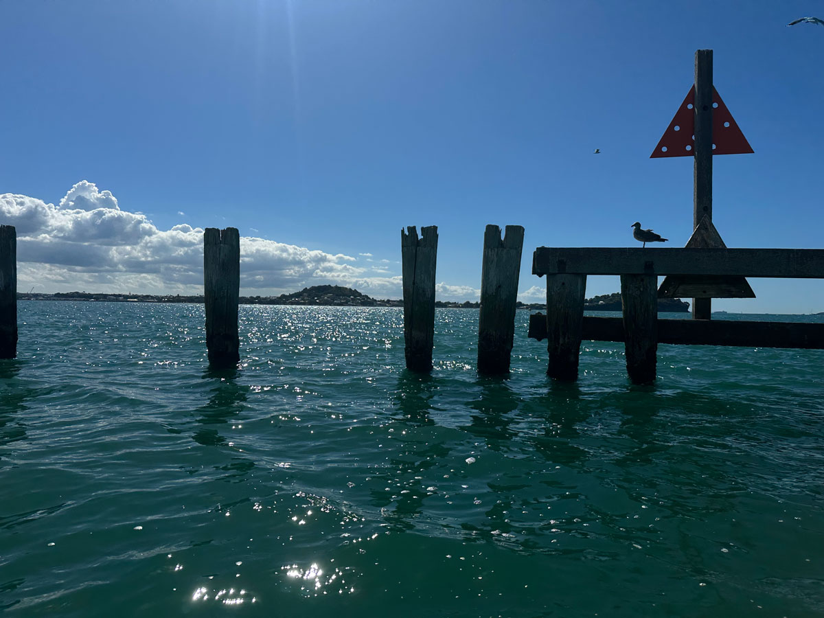
The Hauraki Gulf Marine Park is under increasing pressure. As fish stocks decline and new management measures are introduced, public debate has intensified. Social media often reflects a deep-seated frustration, frequently directed at commercial operations for the scale of their extraction, or at customary fishing due to a perceived lack of fairness.

While customary and recreational catches are not tracked with the same precision as commercial fishing, the allowances set by the Minister of Oceans and Fisheries provide a baseline for comparing the impact of each sector. Here I examine those allowances for key inshore species.

Fishing allowances Weight
Fishing allowances Percent

The commercial sector is permitted to take 74% or six times more fish than recreational fishers and 30 times more than customary fishers. Customary fishing averages 6% of the total take of each species and by weight is 16% of the total recreational catch or 2% of the total allowable catch. This is because customary and recreational fishers take relatively few mackerel.

12% of the total ecological impact of fishing falls under “Other Mortality.” This category represents nearly 1,000 tonnes of fish lost to poaching or incidental death (such as injuries from fishing gear). A high percentage in this category suggests the fish population has either a significant poaching issue or that current fishing methods are causing unnecessary waste, both are a significant management challenge.

Customary fishing impact on High Protection Areas (HPAs)

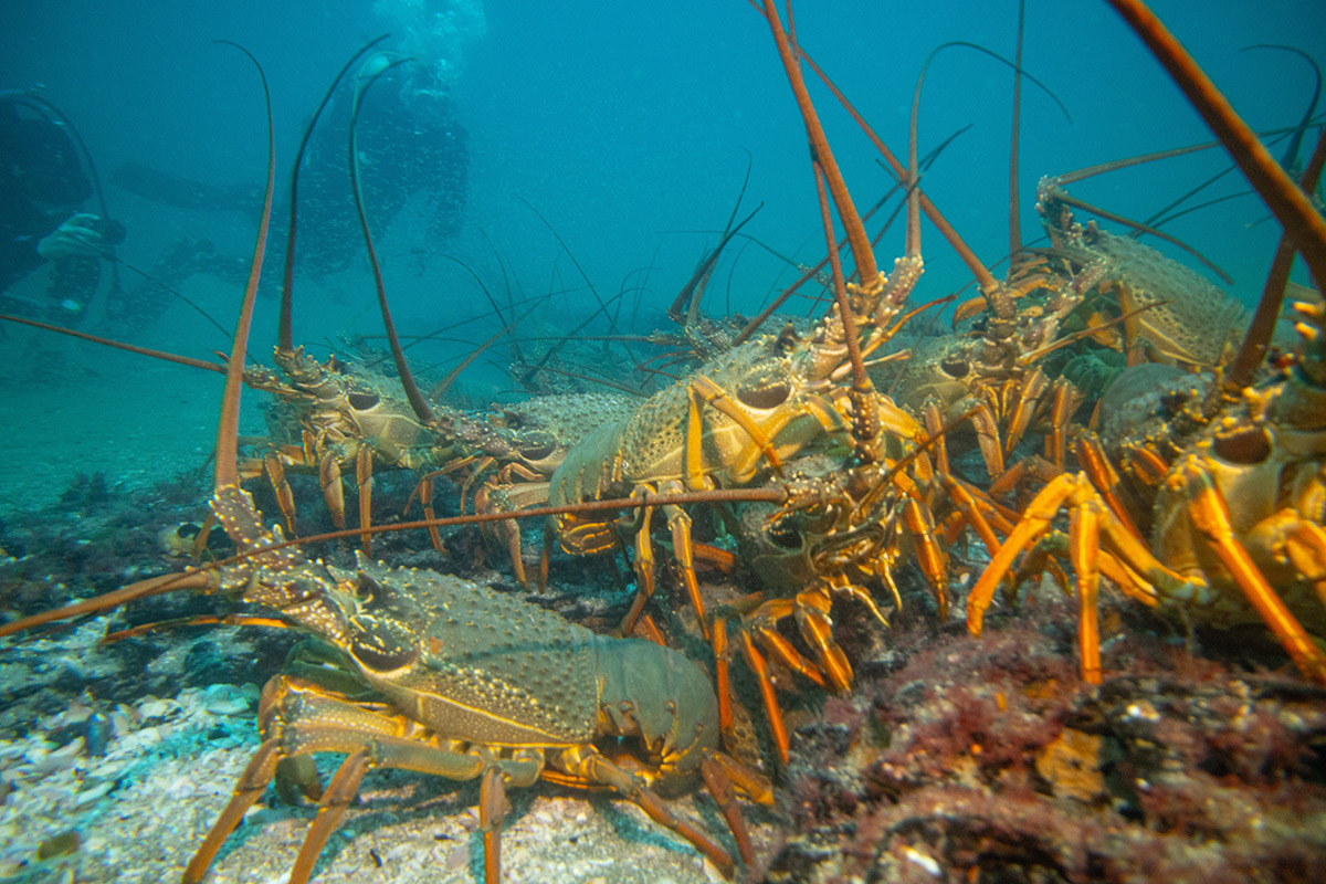
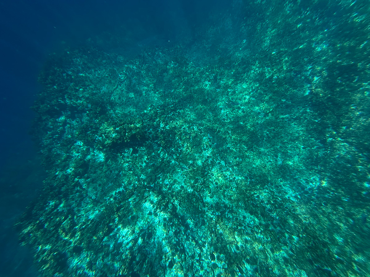
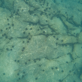
The experimental HPAs will allow for continued customary fishing while excluding commercial and recreational activity. Using Tāmure / Snapper as a case study, we can model three scenarios for customary take.

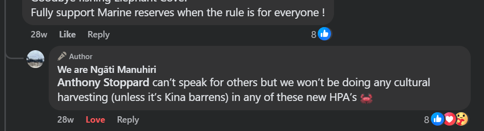
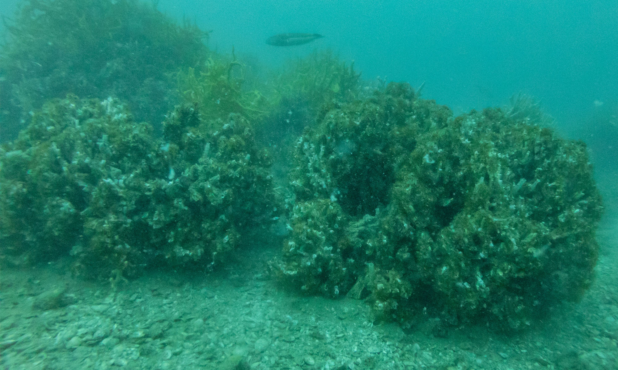
  • Scenario A: Voluntary Conservation. The Ngāti Manuhiri Settlement Trust has publicly signalled a preference for non-extractive practices within these zones. If customary fishers choose to bypass the HPAs to allow large breeding fish to reseed the surrounding waters, it will result in an optimal biodiversity outcome for the entire Gulf. Mana whenua have reinforced this by partnering with the NEXT Foundation, the Department of Conservation, and the University of Auckland in a $20 million kelp regeneration programme. This support for active restoration helps cement the view that the HPAs are for healing rather than harvest, making Scenario A the most probable outcome in the short term.

  • Scenario B: Even Geographic Distribution. To understand the potential impact, we must first correctly scale these areas. While the HPAs cover 6% of the Hauraki Gulf Marine Park, they represent only 0.35% of the total SNA 1 management region (241,000 km2). If the total 50-tonne customary allowance for SNA 1 were spread evenly across its entire territory, the impact on the HPAs would be negligible. Because the HPAs make up only 0.35% of the area, the statistically “even” take would be just 173 kg per year across all HPAs—roughly 14 fish (at 1kg each) per protection area.

  • Scenario C: Concentration of Effort. The risk to the HPAs arises if fishing effort becomes concentrated. Protected areas naturally attract higher fish densities, making them more efficient places to harvest fish for cultural requirements, such as a tangi / funeral. If just 50% of the total customary snapper allowance was harvested from within these small zones, it would result in the removal of 25 tonnes (approximately 25,000 fish) annually. That’s 25,000 1 kg ‘pannies’ or about 2,000 fish per HPA. This level of concentration could undermine the ecological goals of the HPAs.

The legislative framework originally included “Biodiversity Objectives” that would have allowed for limits on customary take within these areas to protect ecosystem health. These protections were removed by the coalition Government at the last minute, specifically by Ministers Shane Jones and Tama Potaka.

Consequently, the ecological success of these areas (relative to the surrounding Gulf) depends on the management of the voluntarily reported customary permits. If the take remains distributed or follows a conservation-led approach (Scenarios A or B), the impact is minimal. However, without the original biodiversity safeguards, the risk of concentrated effort (Scenario C) remains a critical factor for the future of the Gulf and threatens to undermine a $20 million restoration programme.

The sand is alive

Feather duster tubeworm-Bream Bay-Photo by Shaun Lee

They often tell us that the seafloor is a wasteland. To the naked eye, or through the lens of those looking to profit from it, the vast stretches of sand off our coasts are described as “biological deserts.” But yesterday, diving in the waters of Bream Bay, I saw something else.

I was invited to join a group of marine scientists for a recreational survey in an area currently proposed for a sand mine. What we found wasn’t a desert—it was a nursery, a sanctuary, and a testament to the resilience of nature when we simply give it the space to breathe.

Signs of recovery

Our first dive took us to a spot where previous “dropcam” footage had hinted at life. As we descended, the reality exceeded our expectations. There were so tipa / scallops, everything from tiny juveniles to full-grown adults. Since this area was closed to scallop dredging on October 27, 2022, the ecosystem has begun to knit itself back together. In a world where we often hear only of environmental decline, seeing this rapid recovery was electric. As we surfaced, the lead marine biologist couldn’t hide his excitement: “Best dive ever!”

Tipa / scallop Bream Bay. Photo by Shaun Lee.
Tipa / scallops in a proposed sand mine in Bream Bay. Photo by Shaun Lee.

The moving seafloor

On our second dive, we followed a fish finder signal to a new spot. As I photographed the sand using my macro lens, I realised the sand was alive. The density of tubeworms was so high that the entire seafloor seemed to wriggle with life. These small creatures stabilise the sediment, filter feed, are attachment structures for juvenile scallops and food for fish.

A young sponge (lophon minor) growing in a tubeworm field in a proposed sand mine in Bream Bay. Photo by Shaun Lee.

Grab samples

Emptying the grab sample. Photo by Shaun Lee.

In between dives we used a grab sampler to look at the infauna, it was cool to see the little shellfish living in the sand but the highlight for me were the larger wiggling polychaete worms which I don’t often see.

An even better dive

At the end of the planned transect we discovered a low, flat outcrop of soft, peaty rock. It looked unassuming at first, but it was home to something I never expected to see in my lifetime.

Tucked into this small shelter was a huge pod of over 40 large packhorse rock lobsters. To find one or two of these creatures is rare, as they have been heavily overfished for decades. To see a pod of forty—mostly large males congregating together—was breathtaking. Sharing that space with them were juvenile and adult blue cod, goatfish, juvenile snapper and tiny larval fish.

Packhorse rock lobster in a proposed sand mine in Bream Bay. Photo by Shaun Lee.

This area is not only protected from seasonal scallop dredging since 27th of October 2022, but has been protected from bottom trawling for more than 40 years.

Memory in the water

Packhorse lobsters are known to navigate using the Earth’s magnetic field. Watching them as they traced their feelers over my face and shoulders I couldn’t help but wonder: how did they find this tiny, specific patch of safety in a vast ocean? Is it possible that the memory of these safe havens is passed down through generations?

If we allow sand mining to tear up this seafloor, we aren’t just removing “sand.” We are destroying navigational landmarks, generational homes, and a vital link in the marine food chain.

Blue cod in a proposed sand mine in Bream Bay. Photo by Shaun Lee.

Nothing there

There is a profound disconnect between what the scientists showed me and what industry describes. When pushing for extraction permits, proponents often downplay the biological value of the site. For instance, Callum McCallum, Managing Director of McCallum Bros Ltd, has previously justified mining by stating:

“It’s a very high-energy, mobile environment. To the naked eye, there is nothing there.”

After four surveys in this area, I can say with certainty: there is something there. Every time I go down, I find something more precious, more rare, and more worth saving.

We don’t need to “extract” value from Bream Bay. The seeds are already there, living and breathing beneath the waves. We just need to be quiet enough to let it recover.

Restoring Motukorea’s Forests with Feral Pigeons

Taupata / Coprosma repens regenerating on Motukorea

Motukorea / Browns Island is a visual icon of the Hauraki Gulf, but beneath its green slopes lies a history of heavy modification. Farmed for the better part of the last century, the island’s terrestrial habitats are now dominated by Kikuyu grass—a thick, aggressive mat that chokes out diversity and leaves little room for native flora to gain a foothold.

Recently, we began work at the southern tip of the island with a specific goal in mind: creating roosting and nesting habitat for endangered shorebirds. To do this, we sprayed back the Kikuyu grass, the first attempt with brush cutters was not successful.

As the grass died back, weeds quickly sprung up in the newly cleared earth. But while I was out there clearing these weeds, I looked closer at the ground and found something surprising.

Hidden gems in the weeds

Among the weeds were the unmistakable seedlings of native trees. I found two different types of Coprosma and a few young Karo plants. This sparked a bit of an ecological mystery. Where did they come from?

Aerial image of Motukorea in 1940. Source Geomaps / Auckland Council.

“There is no evidence of the island ever being forest-clad. It was cultivated for kumara and taro in the 1820s when visited by Samuel Marsden and RA.” – Esler, A. E. (1993). Plant Life of some Inner Hauraki Gulf Islands. Horticulture in New Zealand (Journal of The Royal New Zealand Institute of Horticulture), 4(2).

It is highly unlikely that these seeds survived more than 200 years in the soil bank. The most logical transport method is avian delivery—birds flying in and dropping seeds.

The unusual suspects

Usually, when we talk about forest regeneration in New Zealand, we look to our native pollinators and seed dispersers, like the Kererū or the Tūī.

However, on Motukorea, native fruit-eating birds are scarce. It is rare to spot a Tūī on the island and I can’t recall ever seeing a Kererū. So, who is doing the reseeding?

The island is, however, home to large populations of non-native birds like Feral Rock Pigeon, Starling and House Sparrows.

Feral rock pigeon on Motukorea

A novel restoration method

The theory is simple but fascinating. The clearing of the Kikuyu created a roosting and feeding area. As weeds fruited on the flats, the Pigeons and Starlings flocked in to feed. While they were there, they deposited seeds they had consumed elsewhere—perhaps from the few stands of mature native trees remaining on the island’s cliffs or even from the mainland.

It is a strange irony of conservation. We generally view feral pigeons and starlings as pests, yet in this highly modified landscape, they appear to be acting as the primary ecological engineers, bridging the gap that our absent native birds usually fill.

Thanks to our unexpected volunteers helping us replant the forest—one dropping at a time.

Submissions on kelp forest restoration

Kina barren at Sail Rock. Photo by Shaun Lee.

Fisheries New Zealand are still stuck in a single-species mindset, managing kōura / spiny lobster as if they exist in isolation. The real measure of success should be the recovery of kelp forest coverage – the foundation of our shallow reef ecosystems. To their credit, FNZ are finally discussing area closures, but the framing remains too narrow.

My estimates (based on the best available information) show that restored kelp forests in CRA 2 (Hauraki Gulf Marine Park) could be worth 12–29 times more than the entire fishery. In CRA 1 (Northland), the foregone ecosystem services from lost kelp forests are even starker – between 100 and 228 times greater than the value of the fishery itself.

The packhorse lobster fishery in northeastern New Zealand should be closed immediately to allow predator populations to recover, avoiding millions of dollars in ongoing costs for culling long-spined sea urchins.

Assessment of the proposed Bream Bay sand mine’s impact on scallops

Tipa / Scallop in the proposed Bream Bay sand mine

The New Zealand government has just introduced ‘fast track’ legislation to bypass the usual checks and balances for environmental protection. This means less voice for nature in the application and approval process. To help address that gap, I’ve been looking into the impact a proposed sand mine might have on the tipa / scallop population in Bream Bay. I shared the report with quota owners who have been fishing the area, they agreed with my findings and have sent the report to Ministers.

Update: May 2025. I also found this document: Boyd 2017 Commercial-fishing Whangarei.pdf Which shows the location of commercial fishing in Bream Bay.

A tī kōuka reef

This is an experimental idea for restoring severely degraded seafloor ecosystems in the Hauraki Gulf Marine Park. It was inspired by reforestation efforts in China, where desertification is being tackled using tools like sandbag tubes  and straw fences.

The idea I tested was based on the concept of straw fences and how they stabilise loose substrates. Underwater, a similar structure might:

  • Stabilise the seafloor by reducing sediment movement
  • Improve water clarity by slowing currents and allowing sediment to settle
  • Provide structure for marine organisms to attach to or shelter in

To test this, I needed to see whether natural fibres could be planted in the seafloor and remain in place. I chose tī kōuka (cabbage tree) leaves because they are tough, fibrous, and slow to decompose on land.

tī kōuka (cabbage tree) leaves
20 tī kōuka (cabbage tree) leaves
The triangle marker on the Ōkahu Breakwater

I collected ten live leaves and ten dead ones, plus two extras to bind them into bundles. The leaves were 67–80 cm long. I kayaked to the triangle marker on the Ōkahu Breakwater (-36.84498185012416, 174.8125985293282) and selected a site 10 metres north of this point, where the substrate shifts from broken shell (common around the piles) to soft mud.

On a calm, high-tide day 25 March 2025, I dived to 5-6 metres and planted the leaves vertically into the mud using a 2 × 2 cm, 40 cm wooden stake, driving each leaf 15–20 cm into the sediment.

The live leaves were planted in a cluster with 5–10 cm spacing. The dead leaves were placed in a similar cluster 1 metre east of the live group.

10 live leaves, Note the substrate was a little firmer here than were I planted the dead leaves.
10 dead leaves, 1 meter east of the live leaves.

Now I wait for nature…

Update 21 March 2026

I optimistically searched for 1 hr today but could not find any evidence that the reef existed. I had perfect conditions but was a bit disappointed to still only have 1m visibility at high tide. I think the idea still has merit but to find out how it can be revised into a restoration method I recommend planting in a sandy / good visibility area and doing regular monitoring to learn how the planted reef degrades.

There were no negative impacts on the seafloor which seemed to have even more burrows then this time last year.

Close CRA 2

Close CRA 2

I am publishing my draft submission on CRA 2 early. Key points below:

  • The ecological imbalance caused by overfishing kōura (spiny rock lobster) in CRA 2 has led to the proliferation of kina barrens, devastating kelp forests along Northland’s east coast.
  • Kelp forests in the Hauraki Gulf could be worth up to USD 147,100 per hectare annually, far exceeding the $10.17 million export value of CRA 2. Kina barrens, by contrast, provide no ecological or economic value.
  • Fisheries New Zealand’s reliance on biased data, such as Catch Per Unit Effort (CPUE), underestimates kōura depletion. Independent research shows kōura populations, even in marine reserves, are well below natural levels.
  • The proposal to close commercial and recreational kōura fishing in the inner Gulf for 10 years is the largest fisheries closure ever suggested for the Hauraki Gulf Marine Park. However, fisheries independent data shows it’s not enough.
  • A new biomass target is precedent-setting and a significant step for Ecosystem-Based Management initiated by Sea Change – Tai Timu Tai Pari. A 3x BR target is essential to control kina populations, halt the spread of kina barrens, and restore productive kelp forests.
  • Independent data must be prioritised, and a precautionary approach adopted, including a full closure of the CRA 2 fishery. Further delays will only worsen environmental and economic losses.

Make your submission here.