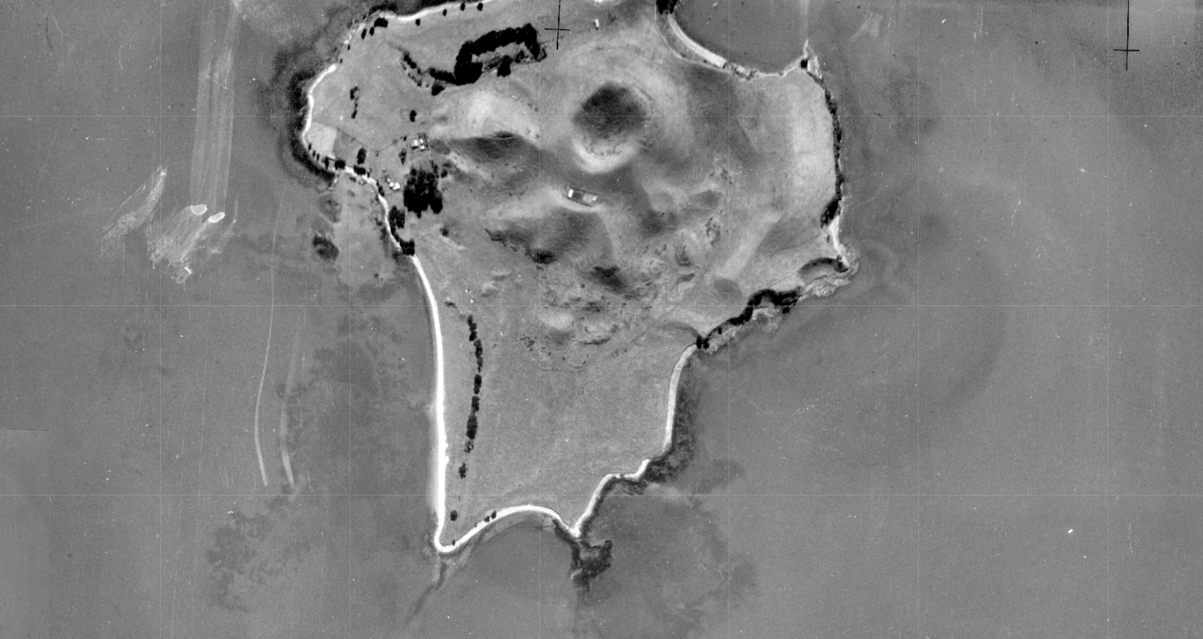
Motukorea / Browns Island is a visual icon of the Hauraki Gulf, but beneath its green slopes lies a history of heavy modification. Farmed for the better part of the last century, the island’s terrestrial habitats are now dominated by Kikuyu grass—a thick, aggressive mat that chokes out diversity and leaves little room for native flora to gain a foothold.
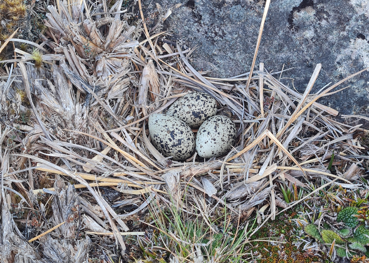
Recently, we began work at the southern tip of the island with a specific goal in mind: creating roosting and nesting habitat for endangered shorebirds. To do this, we sprayed back the Kikuyu grass, the first attempt with brush cutters was not successful.
As the grass died back, weeds quickly sprung up in the newly cleared earth. But while I was out there clearing these weeds, I looked closer at the ground and found something surprising.
Hidden gems in the weeds
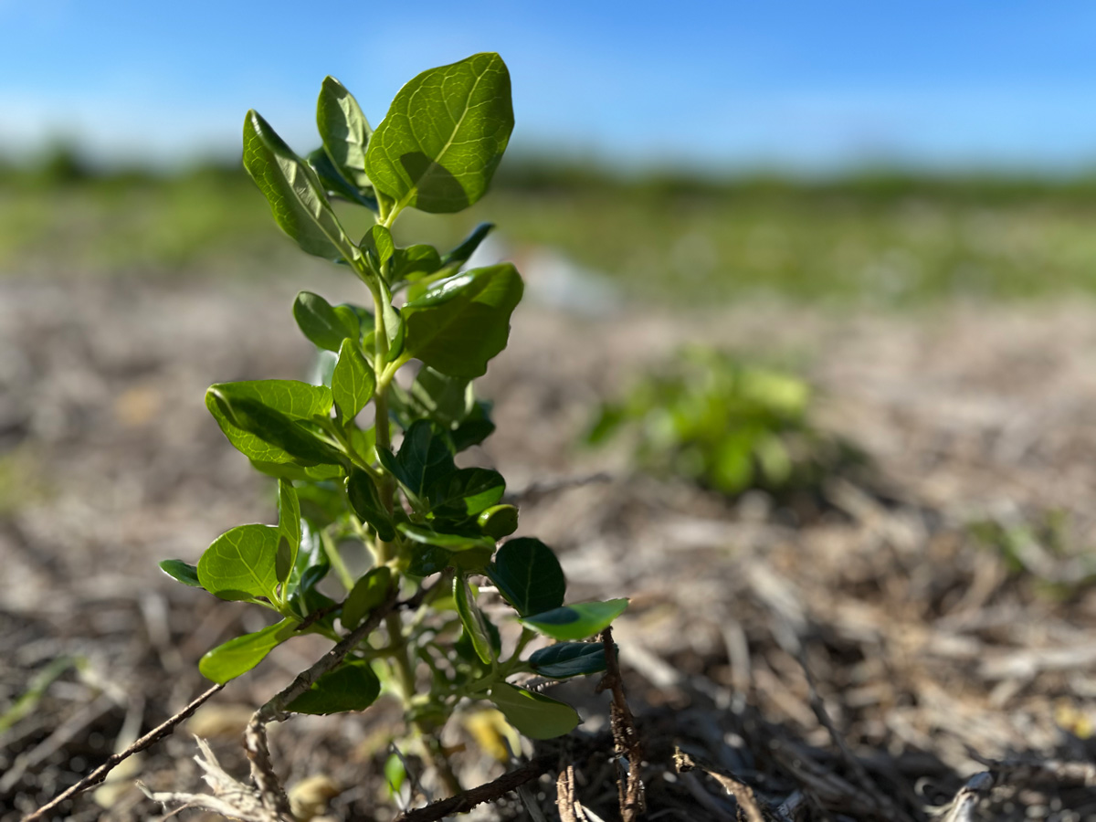
Among the weeds were the unmistakable seedlings of native trees. I found two different types of Coprosma and a few young Karo plants. This sparked a bit of an ecological mystery. Where did they come from?
“There is no evidence of the island ever being forest-clad. It was cultivated for kumara and taro in the 1820s when visited by Samuel Marsden and RA.” – Esler, A. E. (1993). Plant Life of some Inner Hauraki Gulf Islands. Horticulture in New Zealand (Journal of The Royal New Zealand Institute of Horticulture), 4(2).
It is highly unlikely that these seeds survived more than 200 years in the soil bank. The most logical transport method is avian delivery—birds flying in and dropping seeds.
The unusual suspects
Usually, when we talk about forest regeneration in New Zealand, we look to our native pollinators and seed dispersers, like the Kererū or the Tūī.
However, on Motukorea, native fruit-eating birds are scarce. It is rare to spot a Tūī on the island and I can’t recall ever seeing a Kererū. So, who is doing the reseeding?
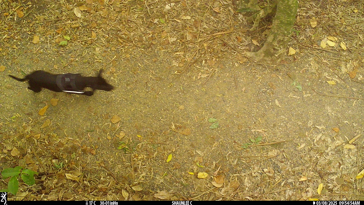
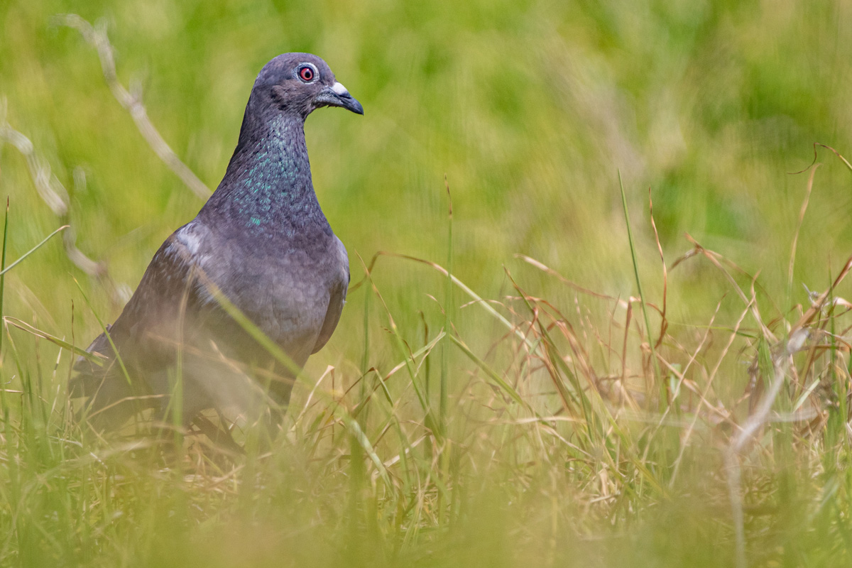
The island is, however, home to large populations of non-native birds like Feral Rock Pigeon, Starling and House Sparrows.
A novel restoration method
The theory is simple but fascinating. The clearing of the Kikuyu created a roosting and feeding area. As weeds fruited on the flats, the Pigeons and Starlings flocked in to feed. While they were there, they deposited seeds they had consumed elsewhere—perhaps from the few stands of mature native trees remaining on the island’s cliffs or even from the mainland.
It is a strange irony of conservation. We generally view feral pigeons and starlings as pests, yet in this highly modified landscape, they appear to be acting as the primary ecological engineers, bridging the gap that our absent native birds usually fill.
Thanks to our unexpected volunteers helping us replant the forest—one dropping at a time.