Submissions June 2026
Mostly just stuff I am doing to help the planet
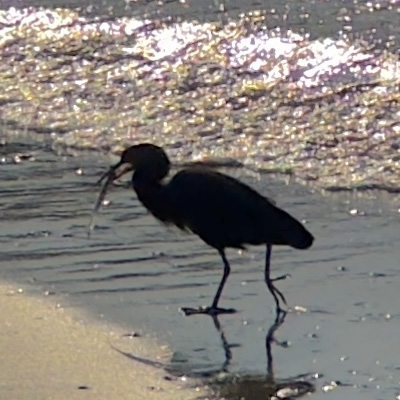
The Hauraki Gulf Marine Park is under increasing pressure. As fish stocks decline and new management measures are introduced, public debate has intensified. Social media often reflects a deep-seated frustration, frequently directed at commercial operations for the scale of their extraction, or at customary fishing due to a perceived lack of fairness.
While customary and recreational catches are not tracked with the same precision as commercial fishing, the allowances set by the Minister of Oceans and Fisheries provide a baseline for comparing the impact of each sector. Here I examine those allowances for key inshore species.


The commercial sector is permitted to take 74% or six times more fish than recreational fishers and 30 times more than customary fishers. Customary fishing averages 6% of the total take of each species and by weight is 16% of the total recreational catch or 2% of the total allowable catch. This is because customary and recreational fishers take relatively few mackerel.
12% of the total ecological impact of fishing falls under “Other Mortality.” This category represents nearly 1,000 tonnes of fish lost to poaching or incidental death (such as injuries from fishing gear). A high percentage in this category suggests the fish population has either a significant poaching issue or that current fishing methods are causing unnecessary waste, both are a significant management challenge.
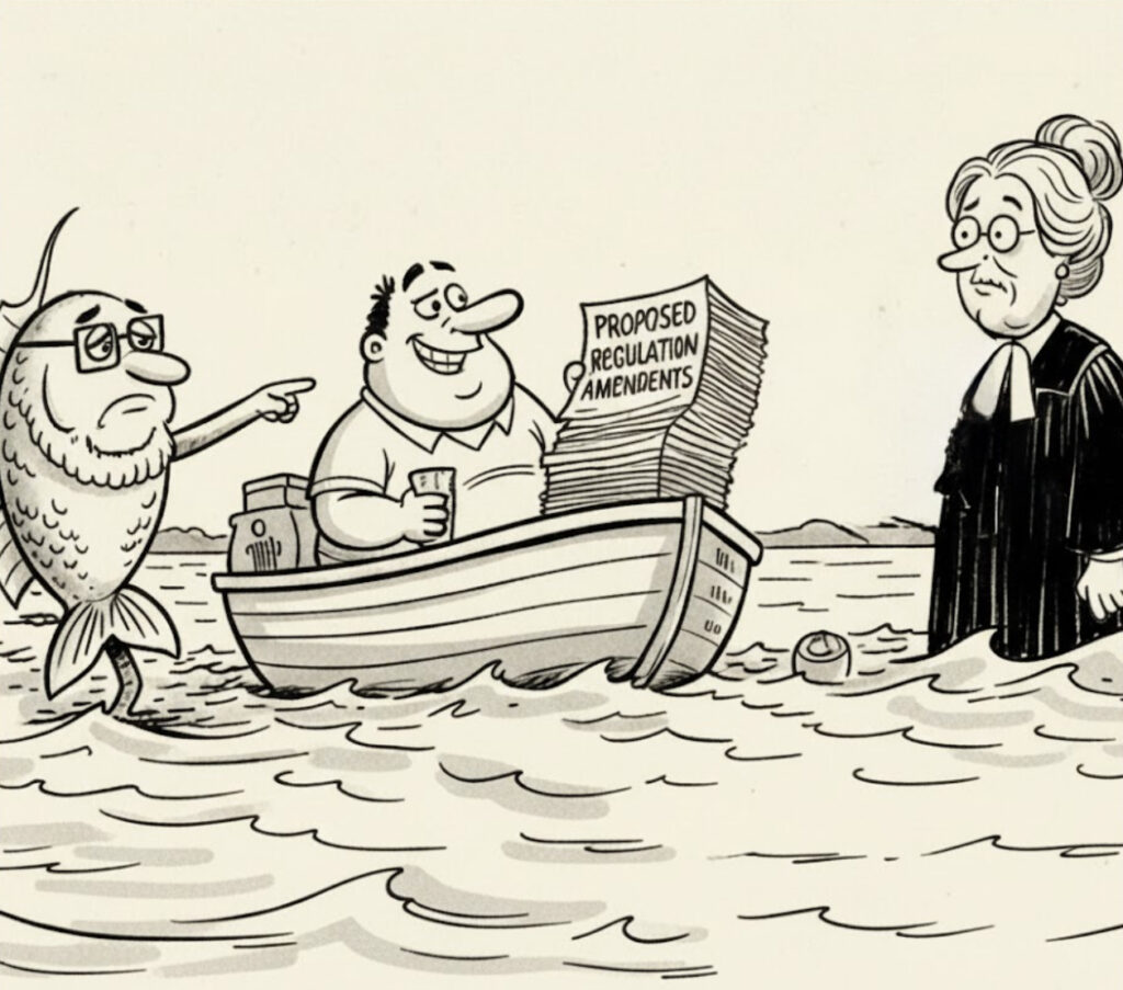
The experimental HPAs will allow for continued customary fishing while excluding commercial and recreational activity. Using Tāmure / Snapper as a case study, we can model three scenarios for customary take.
The legislative framework originally included “Biodiversity Objectives” that would have allowed for limits on customary take within these areas to protect ecosystem health. These protections were removed by the coalition Government at the last minute, specifically by Ministers Shane Jones and Tama Potaka.
Consequently, the ecological success of these areas (relative to the surrounding Gulf) depends on the management of the voluntarily reported customary permits. If the take remains distributed or follows a conservation-led approach (Scenarios A or B), the impact is minimal. However, without the original biodiversity safeguards, the risk of concentrated effort (Scenario C) remains a critical factor for the future of the Gulf and threatens to undermine a $20 million restoration programme.
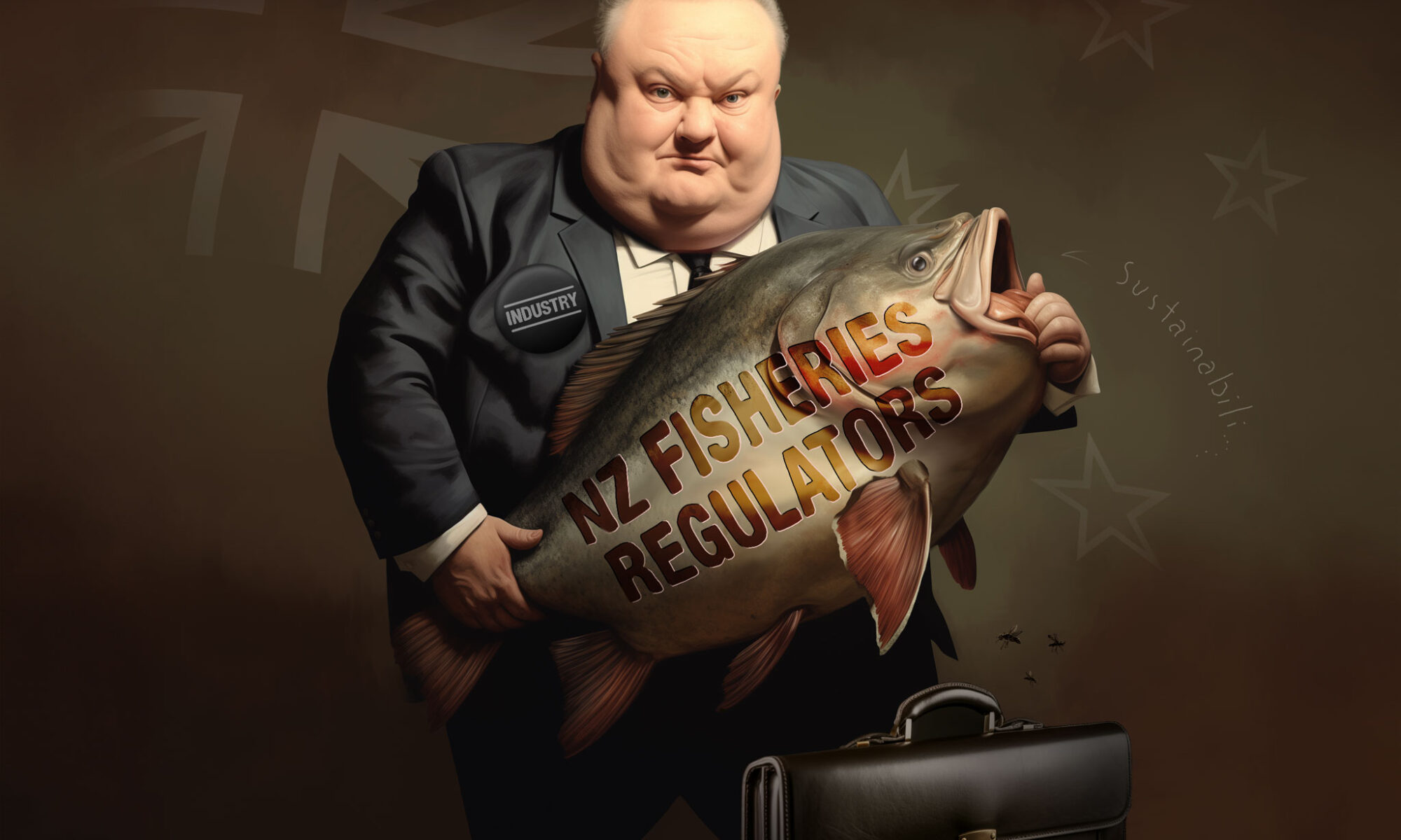
The Government is congratulating itself for a tactical backdown on commercial harvesting of baby fish, but this is a strategic retreat that leaves the The Fisheries Amendment Bill’s most dangerous flaws intact. We are looking at a future where the health of our moana is locked inside an automated “black box” of industry-aligned rules and corporate secrecy.
Poor management let industry destroy our kuku / green-lipped mussel beds, our tipa / scallop beds and our rocky reefs, leaving the public to foot the bill for restoration. Clause 12A now creates “legal blindness,” allowing the Minister to ignore environmental disasters if they were “allowed for” when a rule was first made. Meanwhile, Clause 14 provides a legal “exit ramp” to dump dead bycatch—including sharks and rays—back into the sea to clear the industrial fishing vessel’s record of destruction.
This Bill creates a “transparency black hole” by shielding critical environmental data from the public:
We need a system that prioritises native biodiversity over commercial convenience. The Government must stop managing the decline and move towards Ecosystem Based Management.
My full submission on the The Fisheries Amendment Bill here
Statistics regarding marine protection in the Hauraki Gulf Marine Park have become inconsistent since the Hauraki Gulf Marine Protection Bill came into effect in 2025. Many people are still citing protection figures from early consultation documents, which do not reflect the boundary edits made following public feedback. To determine the actual current extent, I downloaded the GPX coordinates for the newly designated areas and used GIS software to generate polygons, tracing the coastlines and excluding vegetated island landmasses to calculate the true marine area.
| High Protection Area (HPA) | Hectares |
|---|---|
| Te Hauturu-o-Toi / Little Barrier Island HPA | 18,768 |
| Aldermen Islands / Te Ruamahua (north) HPA | 13,326 |
| Aldermen Islands / Te Ruamahua (south) HPA | 15,600 |
| Mokohinau Islands HPA | 11,886 |
| The Noises HPA | 6,049 |
| Kawau Bay HPA | 4,190 |
| Motukawao Islands HPA | 2,910 |
| Cape Colville HPA | 2,665 |
| Slipper Island / Whakahau HPA | 1,348 |
| Pakatoa and Tarahiki / Shag Island HPA | 1,273 |
| Rangitoto and Motutapu HPA | 1,058 |
| Tiritiri Matangi HPA | 826 |
| Marine Reserves in the Gulf | Hectares |
|---|---|
| Tāwharanui Marine Reserve | 364 |
| Mōtū Manawa-Pollen Island Marine Reserve | 500 |
| Te Matuku Marine Reserve | 690 |
| Cape Rodney-Okakari Point Marine Reserve | 2,036 |
| Te Whanganui-o-Hei / Cathedral Cove Marine Reserve | 2,243 |
| Proposed Hākaimangō-Matiatia Marine Reserve | 2,350 |
Note I have excluded the Seafloor Protection Areas which are mostly meaningless.
The Hauraki Gulf Marine Park was calculated at 1,200,000 ha, but modern GIS software is giving us a figure closer to 1,400,000 ha (page 3). These numbers include the islands (~60,000 ha), so the area of ocean is about 1,340,000 ha.
We can now calculate the percent of any given marine protection area. E.g.
The Cape Rodney-Okakari Point Marine Reserve 2,036 ha is 0.152% of the 1,340,000 ha Marine Park.
There are 79,899 ha of HPAs (5.96% of the Marine Park) and 5,833 ha (0.44 % of the Marine Park) in Marine Reserves (excluding the proposed Hākaimangō-Matiatia Marine Reserve). The State of the Gulf 2020 reported that Cable Protection Zones (CPZs) (which also prevent all forms of fishing) cover 4.9% of the Marine Park. However this Fisheries NZ report (page 5) says they CPZs cover ~6% and allow fishing from “small vessels that avoid bottom contact”.
== Below to be updated ==
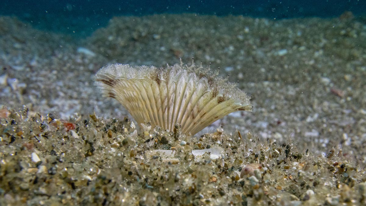
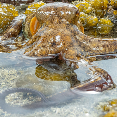
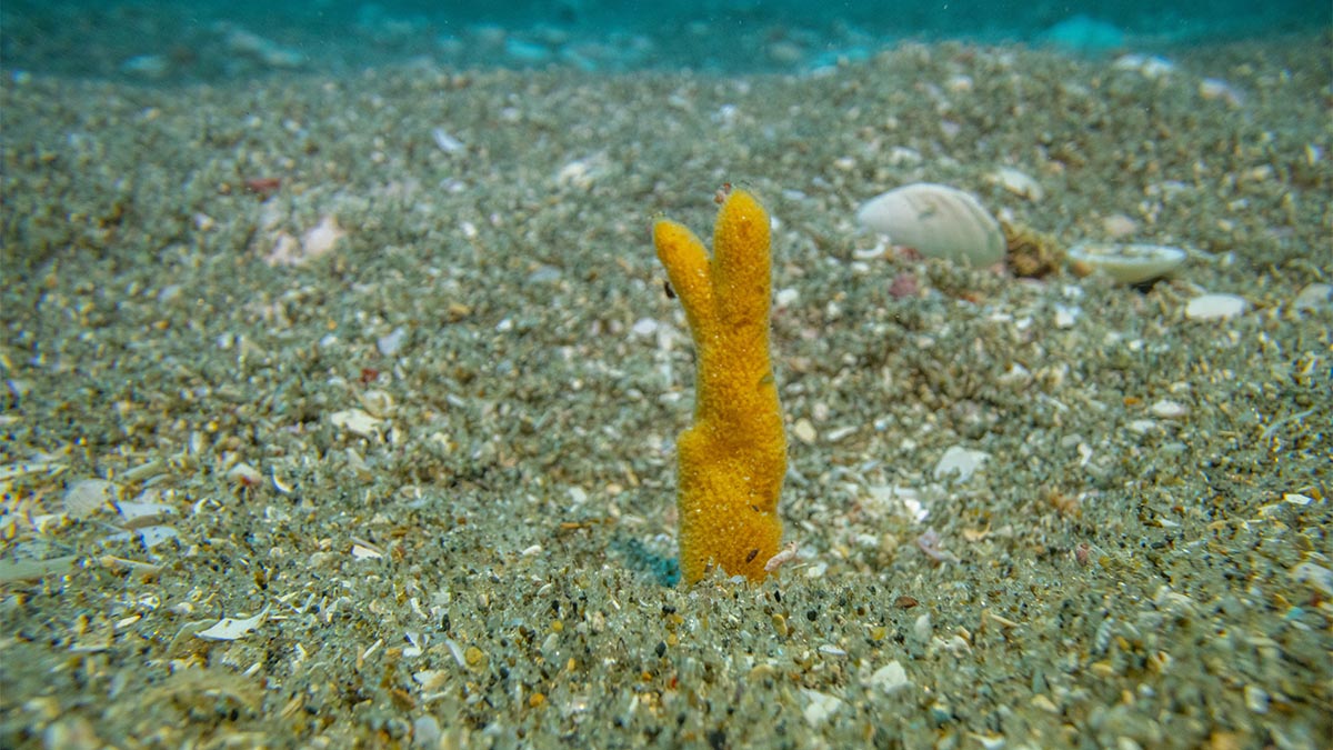
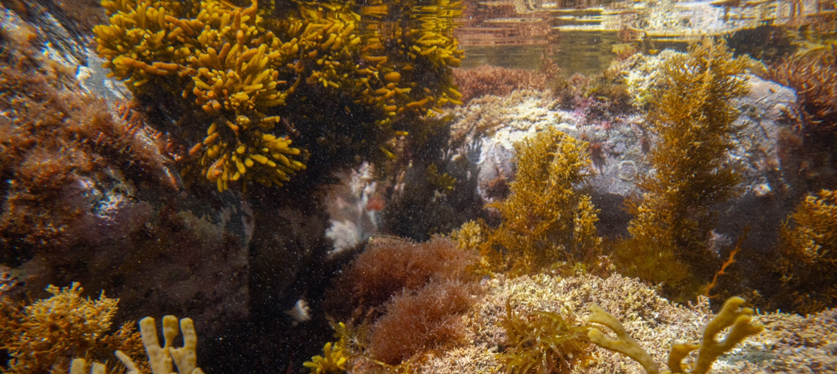
They often tell us that the seafloor is a wasteland. To the naked eye, or through the lens of those looking to profit from it, the vast stretches of sand off our coasts are described as “biological deserts.” But yesterday, diving in the waters of Bream Bay, I saw something else.
I was invited to join a group of marine scientists for a recreational survey in an area currently proposed for a sand mine. What we found wasn’t a desert—it was a nursery, a sanctuary, and a testament to the resilience of nature when we simply give it the space to breathe.
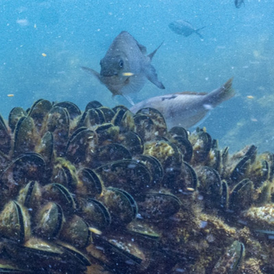
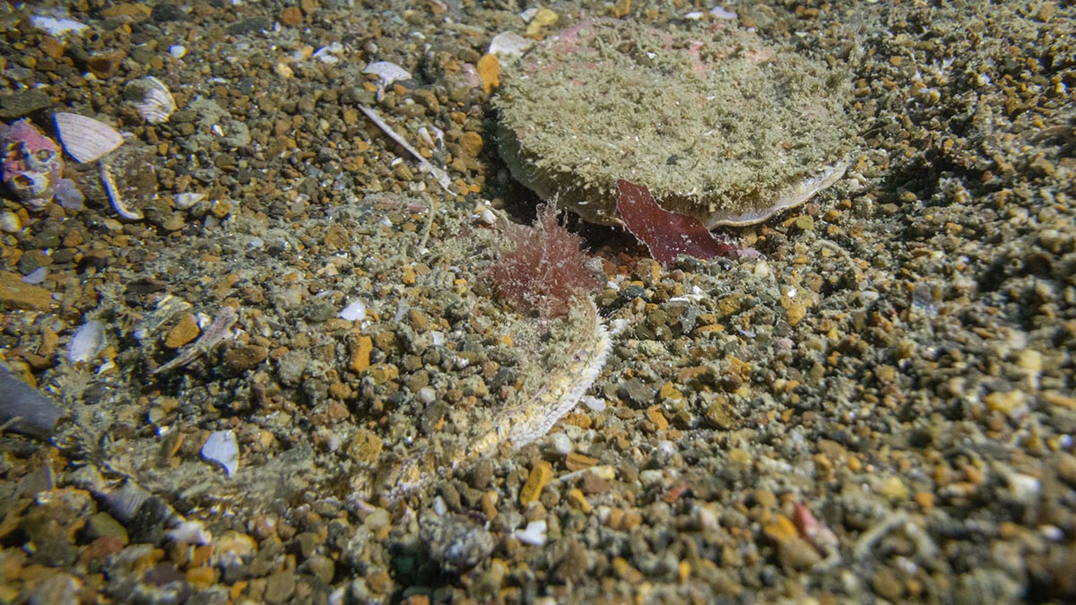
Our first dive took us to a spot where previous “dropcam” footage had hinted at life. As we descended, the reality exceeded our expectations. There were so tipa / scallops, everything from tiny juveniles to full-grown adults. Since this area was closed to scallop dredging on October 27, 2022, the ecosystem has begun to knit itself back together. In a world where we often hear only of environmental decline, seeing this rapid recovery was electric. As we surfaced, the lead marine biologist couldn’t hide his excitement: “Best dive ever!”
On our second dive, we followed a fish finder signal to a new spot. As I photographed the sand using my macro lens, I realised the sand was alive. The density of tubeworms was so high that the entire seafloor seemed to wriggle with life. These small creatures stabilise the sediment, filter feed, are attachment structures for juvenile scallops and food for fish.
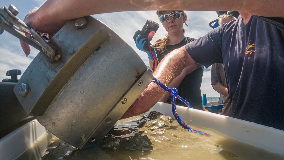
In between dives we used a grab sampler to look at the infauna, it was cool to see the little shellfish living in the sand but the highlight for me were the larger wiggling polychaete worms which I don’t often see.
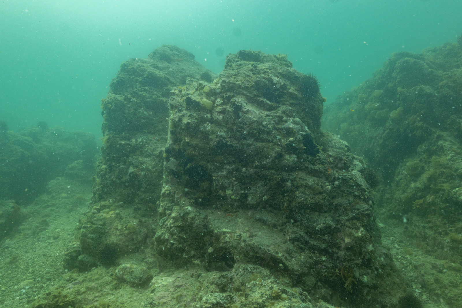
At the end of the planned transect we discovered a low, flat outcrop of soft, peaty rock. It looked unassuming at first, but it was home to something I never expected to see in my lifetime.
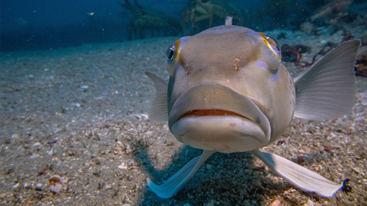
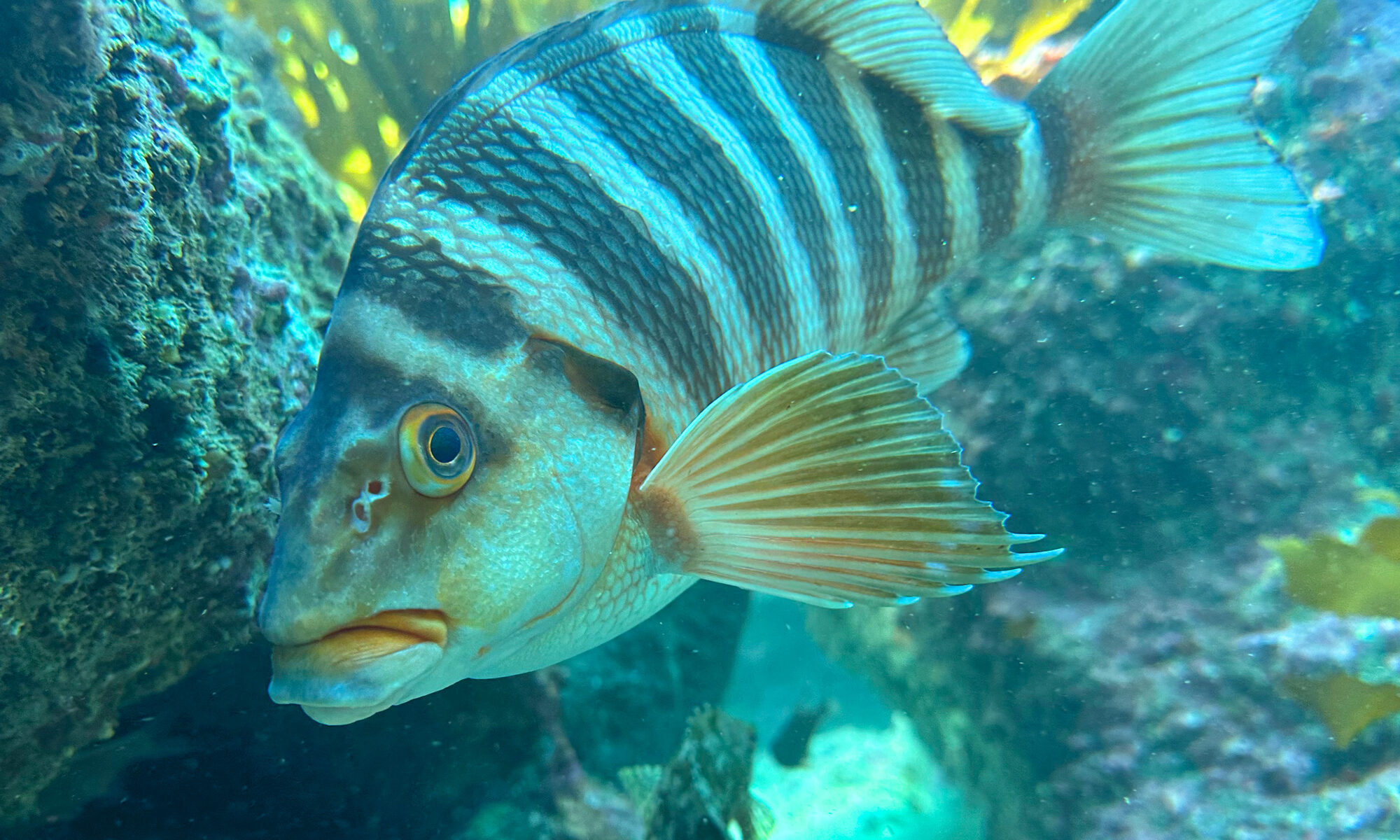
Tucked into this small shelter was a huge pod of over 40 large packhorse rock lobsters. To find one or two of these creatures is rare, as they have been heavily overfished for decades. To see a pod of forty—mostly large males congregating together—was breathtaking. Sharing that space with them were juvenile and adult blue cod, goatfish, juvenile snapper and tiny larval fish.
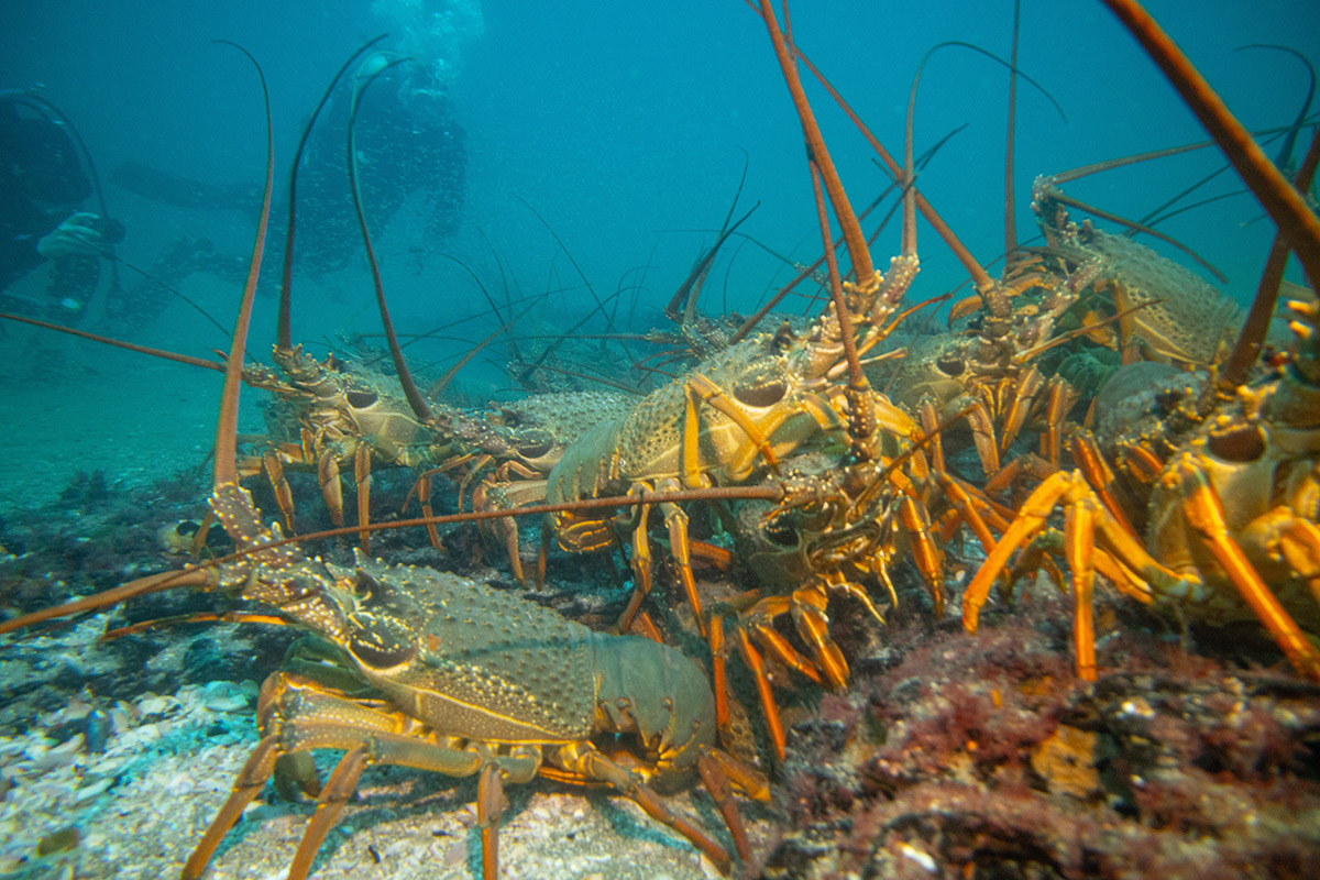
This area is not only protected from seasonal scallop dredging since 27th of October 2022, but has been protected from bottom trawling for more than 40 years.
Packhorse lobsters are known to navigate using the Earth’s magnetic field. Watching them as they traced their feelers over my face and shoulders I couldn’t help but wonder: how did they find this tiny, specific patch of safety in a vast ocean? Is it possible that the memory of these safe havens is passed down through generations?
If we allow sand mining to tear up this seafloor, we aren’t just removing “sand.” We are destroying navigational landmarks, generational homes, and a vital link in the marine food chain.
There is a profound disconnect between what the scientists showed me and what industry describes. When pushing for extraction permits, proponents often downplay the biological value of the site. For instance, Callum McCallum, Managing Director of McCallum Bros Ltd, has previously justified mining by stating:
“It’s a very high-energy, mobile environment. To the naked eye, there is nothing there.”
After four surveys in this area, I can say with certainty: there is something there. Every time I go down, I find something more precious, more rare, and more worth saving.
We don’t need to “extract” value from Bream Bay. The seeds are already there, living and breathing beneath the waves. We just need to be quiet enough to let it recover.
Motukorea / Browns Island is a visual icon of the Hauraki Gulf, but beneath its green slopes lies a history of heavy modification. Farmed for the better part of the last century, the island’s terrestrial habitats are now dominated by Kikuyu grass—a thick, aggressive mat that chokes out diversity and leaves little room for native flora to gain a foothold.
Recently, we began work at the southern tip of the island with a specific goal in mind: creating roosting and nesting habitat for endangered shorebirds. To do this, we sprayed back the Kikuyu grass, the first attempt with brush cutters was not successful.
As the grass died back, weeds quickly sprung up in the newly cleared earth. But while I was out there clearing these weeds, I looked closer at the ground and found something surprising.
Among the weeds were the unmistakable seedlings of native trees. I found two different types of Coprosma and a few young Karo plants. This sparked a bit of an ecological mystery. Where did they come from?
“There is no evidence of the island ever being forest-clad. It was cultivated for kumara and taro in the 1820s when visited by Samuel Marsden and RA.” – Esler, A. E. (1993). Plant Life of some Inner Hauraki Gulf Islands. Horticulture in New Zealand (Journal of The Royal New Zealand Institute of Horticulture), 4(2).
It is highly unlikely that these seeds survived more than 200 years in the soil bank. The most logical transport method is avian delivery—birds flying in and dropping seeds.
Usually, when we talk about forest regeneration in New Zealand, we look to our native pollinators and seed dispersers, like the Kererū or the Tūī.
However, on Motukorea, native fruit-eating birds are scarce. It is rare to spot a Tūī on the island and I can’t recall ever seeing a Kererū. So, who is doing the reseeding?
The island is, however, home to large populations of non-native birds like Feral Rock Pigeon, Starling and House Sparrows.
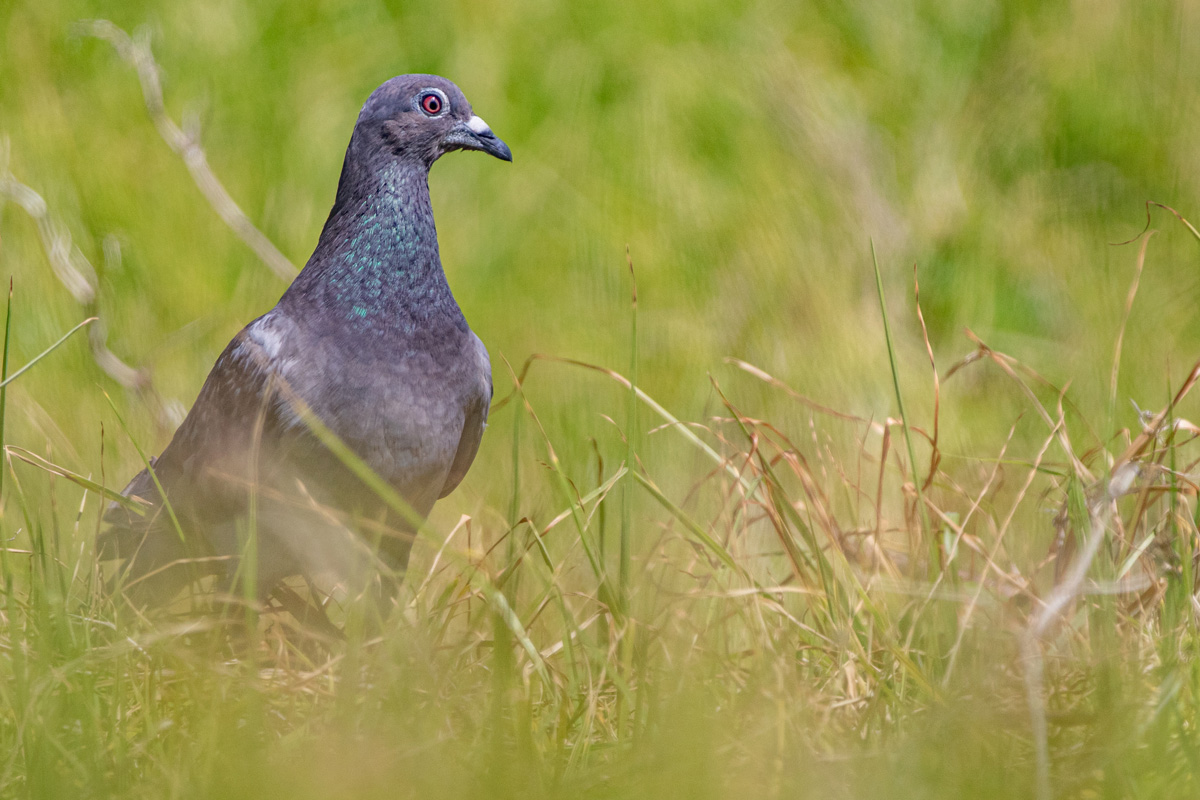
The theory is simple but fascinating. The clearing of the Kikuyu created a roosting and feeding area. As weeds fruited on the flats, the Pigeons and Starlings flocked in to feed. While they were there, they deposited seeds they had consumed elsewhere—perhaps from the few stands of mature native trees remaining on the island’s cliffs or even from the mainland.
It is a strange irony of conservation. We generally view feral pigeons and starlings as pests, yet in this highly modified landscape, they appear to be acting as the primary ecological engineers, bridging the gap that our absent native birds usually fill.
Thanks to our unexpected volunteers helping us replant the forest—one dropping at a time.
The core complaints levied by Ben Chissell, Shimano Fishing New Zealand, Okuma New Zealand and Daiwa New Zealand (LegaSea are on the sideline) are simply not supported by the facts:
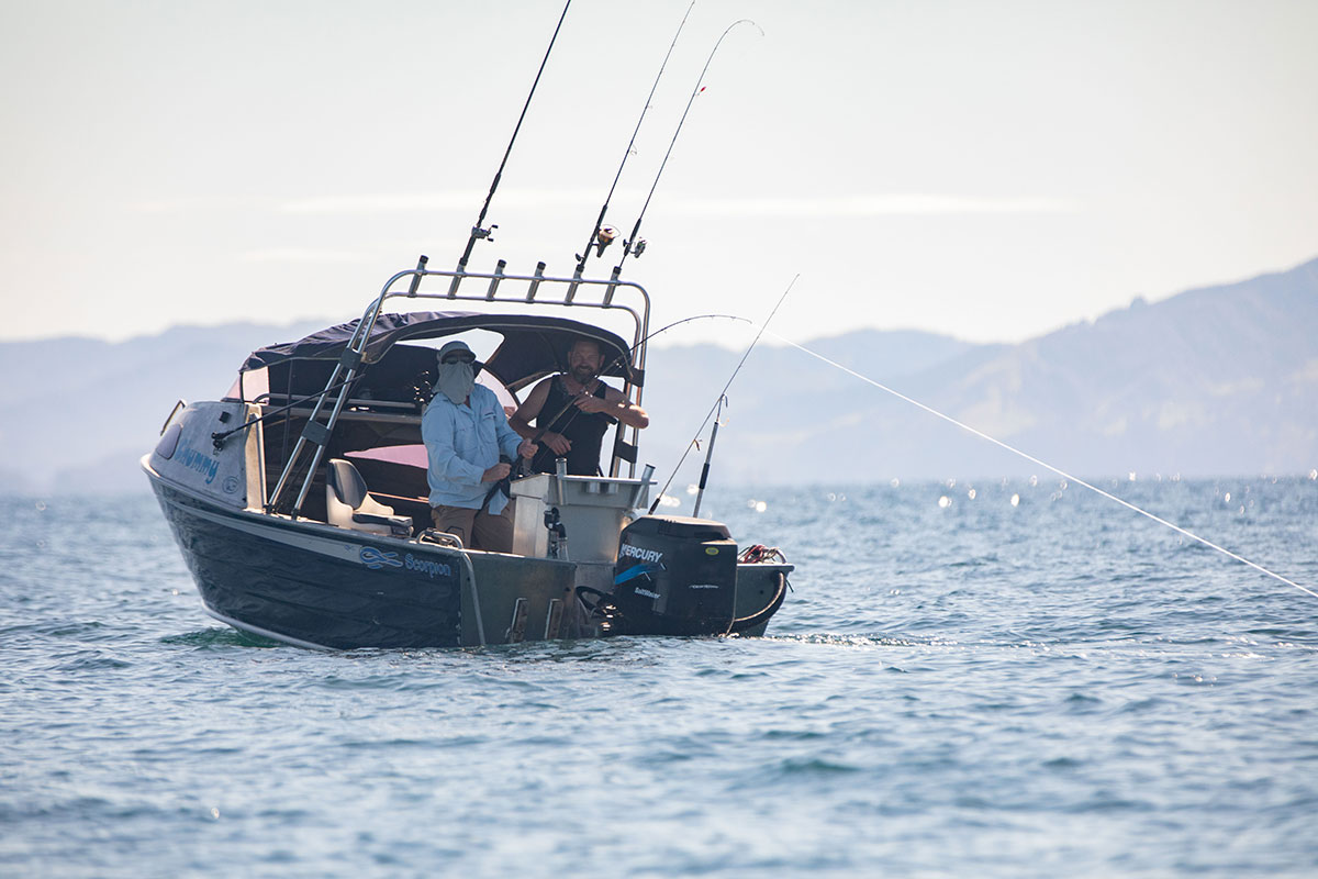
#1 “People just wanting to catch a feed for their family or enjoy a day on the water are now being pushed further offshore into unfamiliar areas.” A dramatic exaggeration. Only three of the twelve new High Protection Areas (HPAs) even touch the mainland.
#2 “Commercial fishers can access the HPAs.” This is a red herring. While two HPAs permit a small, regulated ring-net catch worth only $26k PA, this is a temporary concession and a fraction of the issue. This will be reviewed in 3 years and the Labour Party has already pledged to remove the ring-net fishing clause.
#3 “Locking the public out will simply push fishing pressure onto neighbouring regions up north and in the Bay of Plenty” Only 9% of fishing happens in the HPAs, any displacement is consistent with existing shifts if fishing effort.
#4 “Unfairly locks the public out.” The opposite is true. Allowing ubiquitous fishing locks the public out of experiencing nature in its most abundant and wildest state. It’s astonishingly selfish to argue that the public’s “right to fish” trumps the public’s right to a healthy, vibrant marine ecosystem. Furthermore, 72% of recreational fishers support protecting 30% of the ocean. The vocal minority does not speak for the majority.
#5. “We just basically need to prioritise looking after Kiwis, looking after our playground, feeding Kiwis, and not exporting our resources.” Yes commercial fishing needs to reduce in the Gulf, this is happening. But recreational fishers now take more snapper than commercial fishers, its the fishing methods that need to change not the focus on exports. The bill they are protesting introduces some Seafloor Protection Areas but the whole of the marine park should be an SPA. The marine spatial plan (Sea Change 2017) bans trawling and allows for areas with conservation values.
Look no further than places like The Noises (now an HPA). The reefs there are a stark monument to unchecked recreational fishing. By wiping out the predators of kina (sea urchins), fishers have allowed kina barrens to replace 72% of the productive kelp forests. This isn’t sustainable ‘kai,’ it’s ecological vandalism.
The protest is incredibly short-sighted. Protecting small areas creates nurseries and, critically, allows big old fish to thrive. A single 70cm Snapper produces the same number of eggs as thirty-six 30cm Snapper. Protecting these areas is not “locking the public out”; it’s re-seeding the entire Gulf for future generations.
The current proposal only increases the Gulf’s protected areas from 0.3% to a paltry 6%. The UN recommends 30%. This protest, demanding unfettered access to the remaining area, boils down to one thing: a profoundly selfish set of values that prioritises a weekend hobby over the long-term health of a national taonga.
If the goal is truly to “look after our playground,” as claimed, then the only responsible action is to support, not protest, the modest steps being taken to let nature heal. Less complaining, more long-term thinking.

I believe this is an inaugural report on pond water quality at Tahuna Torea Nature Reserve. The report summarises water quality monitoring before and after the recent koi carp removal project.
While too few fish were removed to see measurable changes, the work has provided useful baseline data on pond conditions. The findings also highlight the impacts of accumulated sediment and outline likely future pressures from sea level rise.
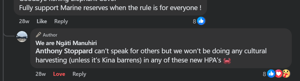
Following an amendment to Hauraki Gulf / Tīkipa Moana Marine Protection Bill last month I made an Official Information Act (OIA) request to Fisheries New Zealand (FNZ) asking for data on customary fishing inside the 12 proposed High Protection Areas (HPAs).
The request had two parts:
The reason for this request was simple: without knowing how much customary fishing occurs in these areas, it is impossible to assess whether the HPAs will deliver the biodiversity outcomes the public has been told to expect. I asked for and received this data in 2022 but it was in poor shape.
FNZ declined my request the day after the house had finished debating the amendment.
In short: FNZ does not hold comprehensive customary catch data for the Gulf HPAs and has not assessed the biodiversity implications of customary fishing in these areas.
Originally, the Marine Protection Bill required biodiversity objectives for HPAs, and customary fishing had to align with them. That safeguard was contained in Clause 66 and Section 19.
But in July 2025, the Government amended the Bill. The amendment removed the link between biodiversity objectives and customary fishing. Customary non-commercial fishing in HPAs will now be regulated solely under the Fisheries Act 1996, with no requirement to align with biodiversity objectives (AP No 260).
This means biodiversity objectives will no longer manage customary fishing at all.
The Environmental Defence Society has stated it is “concerning that customary fishing will not be subject to biodiversity objectives.”
I think the changes create a serious gap in marine protection:
The Gulf desperately needs effective marine protection. But protection must be real, not just symbolic. Right now, FNZ cannot say how many fish will be removed from HPAs, nor what impact that removal will have on biodiversity.
Worse, the recent amendments to the Bill mean biodiversity objectives—the very tool designed to ensure ecological recovery—no longer apply to customary fishing.
That is deeply disappointing. If HPAs are to succeed, they must be based on evidence, transparency, and enforceable biodiversity objectives. Anything less risks creating “protected” areas in name only.
Together with the allowance for commercial fishing in two of the HPAs, the reality falls far short of what the public expects from “high protection.” As MP Lan Pham put it in the House this week:
“My proposed amendment is to actually replace the definition of ‘High Protection Area’ with ‘Compromised Protected Area’.”
It’s hard to disagree.